 The trip started off with half of Year 8 going by train and the other half
going to straight to Bridgenorth on the coach.
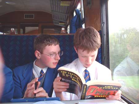
The trip started off with half of Year 8 going by train and the other half
going to straight to Bridgenorth on the coach. On the journey by train, we had to make notes every five minutes of the land use, e.g. farming, industrial, residential etc...
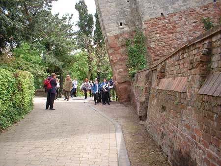
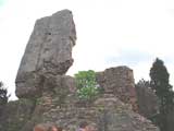 When we arrived, we all met up at the Castle - or what is left of it as there
is only one corner still recognisable. We then had about an hour to map the
use of buildings e.g. Commecial, Residential, Industrial. When we had finished
some of us found a Fish & Chip shop so we had a large chips and then had
our lunch in the coach on the way back.
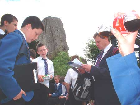
When we arrived, we all met up at the Castle - or what is left of it as there
is only one corner still recognisable. We then had about an hour to map the
use of buildings e.g. Commecial, Residential, Industrial. When we had finished
some of us found a Fish & Chip shop so we had a large chips and then had
our lunch in the coach on the way back.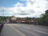 After lunch we did the pedestian and traffic count. In the busiest areas we
had barely enough time to breath between cars. After that we all met back at
the castle and then the half that came by train went back by coach and the rest
went back on the train to do the land use plotting exercise.
After lunch we did the pedestian and traffic count. In the busiest areas we
had barely enough time to breath between cars. After that we all met back at
the castle and then the half that came by train went back by coach and the rest
went back on the train to do the land use plotting exercise.Back at school we had to plot a Pedestrian Isoline map and a Traffic Flowline map.
Some more photographs .....